
Gerrymandering, Redistricting, and the Changing Map: What the Virginia, Florida, and Maryland Battles Tell Us
Estimated reading time: 5 minutes
Key takeaways
- Gerrymandering shapes political power by how districts are drawn, not just by election results.
- Modern redistricting blends data science, legal checks, and public input to balance representation and competitiveness.
- Metrics like the efficiency gap and algorithmic simulations reveal patterns of packing or cracking in maps.
- Virginia, Florida, and Maryland showcase how demographics, growth, and court rulings influence redraws.
- Readers can participate: review maps, attend hearings, and use independent tools to evaluate fairness.
Table of contents
- Historical context of gerrymandering
- How redistricting works today
- Data-driven insights and metrics
- Case studies: Virginia, Florida, Maryland
- What readers can do
Historical context of gerrymandering
The term “gerrymander” dates back to 1812 and describes the deliberate drawing of legislative districts to advantage a party. Though the practice has evolved with technology, the core tension remains: lines on a map can tilt power more predictably than the ballot box alone.
How redistricting works today
Across states, maps are drawn after each census by legislatures, commissions, or court orders. The goal is constitutional fairness, but real outcomes depend on process transparency, public input, and the use of nonpartisan data models. Analysts now test multiple maps to measure competitiveness, contiguity, and bias before final approval.
Data-driven insights and metrics
Researchers employ metrics such as the efficiency gap and mean-median difference to quantify partisan effects. AI-assisted simulations produce thousands of map variants, helping voters see potential consequences. The trend lines point to a bigger lesson: even small biases in data or ranking can compound into meaningful political advantages.
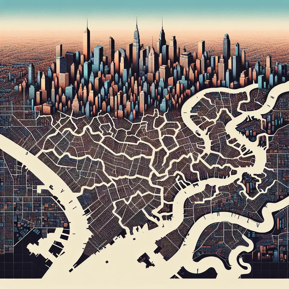
Case studies: Virginia, Florida, Maryland
Virginia’s recent redraws reflect shifting suburban growth and battleground counties; Florida’s expanding population tests boundaries around urban-rural divides; Maryland’s dense political map highlights how suburban counties interact with city cores. In each case, court rulings and voter engagement shape the final geometry of representation.
What readers can do
- Review your district map using independent mapping tools.
- Attend or watch public hearings; submit comments advocating transparency.
- Follow expert analyses and official reports to understand legality and fairness metrics.
- Share resources with neighbors to encourage informed participation.
Related reads: How redistricting affects local governance • Demographic shifts and political power
Source: https://www.nytimes.com/2026/01/12/us/politics/gerrymandering-redistricting-virginia-florida-maryland.html
Leave a Reply